 Mt. Takao or Takao-san in the western part of Tokyo is an extremely popular mountain despite its altitude of only 599m. There are several reasons for this.
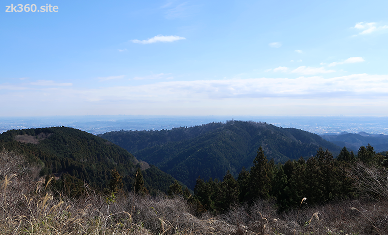
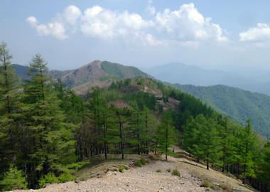
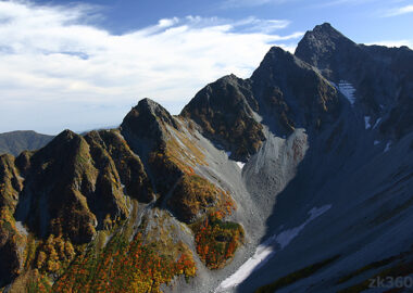
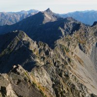
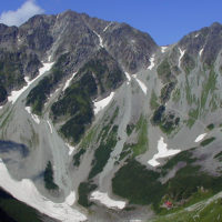
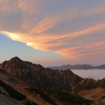
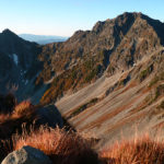
 Photo 1: Mt. Takao in spring as seen from Mt. Shiroyama. It’s an ordinary low mountain. The urban areas in the back are Hachioji and Yokohama. (2020/3/017)
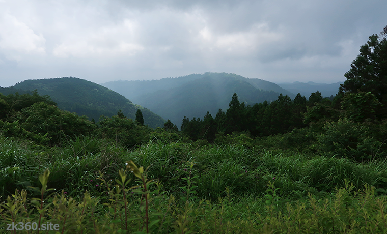
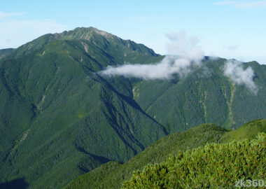
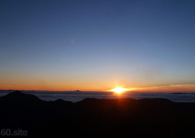
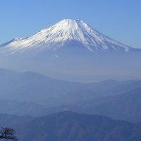
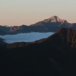
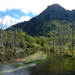
 Photo 2: Mt. Takao in early summer as seen from Mt. Shiroyama. The rainy season started and the green became darker. Thanks to the weather, ordinary mountains look superb. (2020/6/24)
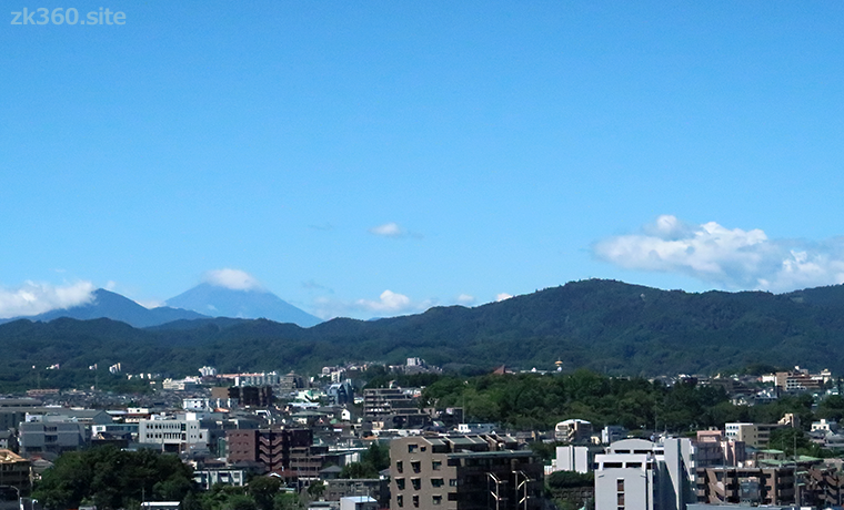
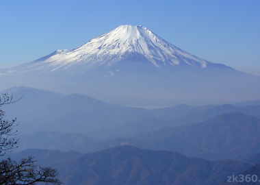
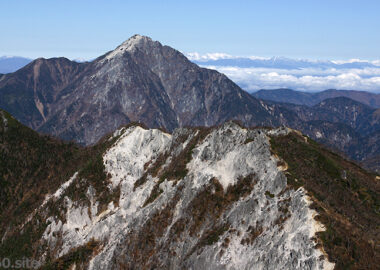
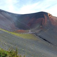
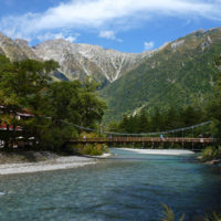
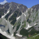
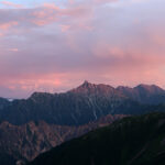
 Photo 3: Mt. Takao (peak on the right) in summer as seen from the city of Hachioji. On the left, you can see Mt. Fuji and Mt. Omuro with clouds. (2021/8/10)
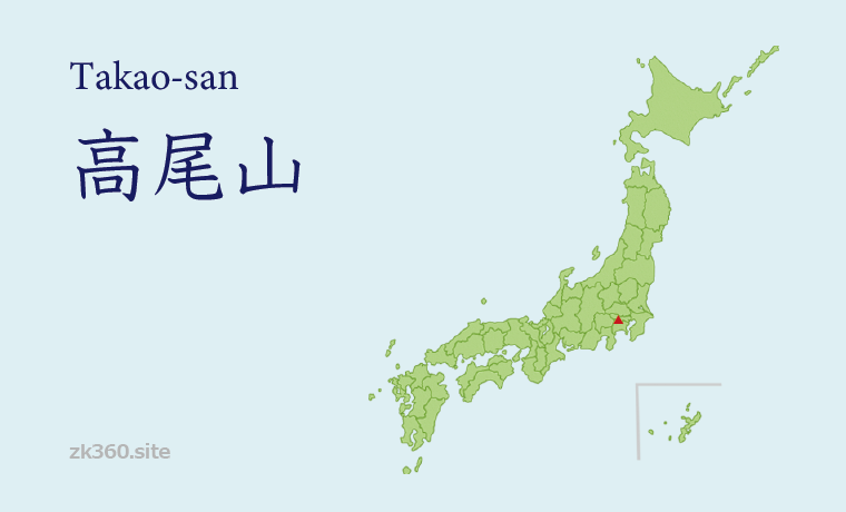
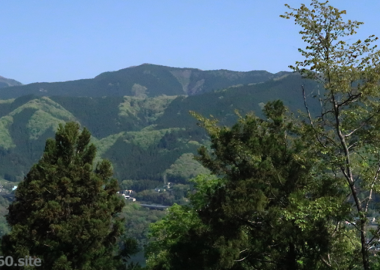
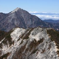
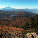
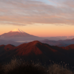
The title image changes every 5 seconds.
The mountain with the largest number of climbers in the world, visited by more than 2.6 million people annually.
Mt. Takao was selected as a Michelin Guide’s three-star tourist destination in 2007, and has become even more popular. It is said that more than 2.6 million people visit Mt. Takao annually. There are many reasons why it is so popular.
At first, it is close to Tokyo and easy to climb. It takes less than an hour from Shinjuku to Takaosanguchi Station on the Keio Line. Then, walk about 5 minutes from the station to reach the trailhead. There are multiple mountain trails on Mt. Takao, and each course takes about an hour and a half to reach the summit. Cable cars and lifts make it easier to get up to the ridge.
Next, there is Yakuouin Temple, which is nearly 1300 years old, and nature has been protected as a mountain of worship. Yakuouin is one of the three main temples of the Shingon sect of Chisan in the Kanto region, and many people come to visit it. There are many Buddhist facilities on Mt. Takao. Therefore, it is an interesting place for people who like temples.
Mt. Takao is on the border between Japanese laurel forests and coniferous forests. Therefore, the vegetation is very rich. Many of the plants were first discovered on Mt. Takao. It has also been selected as one of Japan’s “Hundred Mountains of Flowers”.
In fact, you can see various flowers and plants while walking along the mountain trail. In winter, you may encounter “ice flower”.
Then, in 2020, Mt. Takao and the surrounding cultural properties were certified as “Japan Heritage” by the Agency for Cultural Affairs of Japan.
However, few people can imagine the shape of Mt. Takao. As you can see in the title photo, the altitude is low and the shape of the mountain is not characteristic. It is difficult to identify it.
Though, Mt. Takao proved to be the top in the world in terms of number of visitors, whether it is not high or sharp. Now, take a look at the 360-degree spherical panorama taken at the top of the mountain in the early morning.
* Click the word THETA at the bottom left of the screen to see a wider screen.
この写真は、Webサイト『絶景360』の一部です。『絶景360』は、こちら(https://zk360.site)からご覧いただけます。 – Spherical Image – RICOH THETA
Spherical panoramic photo at the summit of Mt. Takao in the early autumn morning (2016/11/18)
The summit of Mt. Takao is a large open space. It’s almost a tourist spot. This square is full of people during the first sunrise of the year and during the fall foliage season.
At Momiji-dai, you can feel the mountains away from the hustle and bustle of the mountaintops.
I think that many of the visitors to this website want to enjoy a more mountainous atmosphere. Momiji-dai is recommended for such people. Momiji-dai means an observatory with maple. It is about 10 minutes walk from the summit of Mt. Takao in the direction of Oku Takao.
I think Momiji-dai is the best view spot on Mt. Takao. I really don’t want to let people know about this. I always eat lunch here, avoiding the mountaintops where there are many tourists.
* Click the word THETA at the bottom left of the screen to see a wider screen.
この写真は、Webサイト『絶景360』の一部です。『絶景360』は、こちら(https://zk360.site)からご覧いただけます。 – Spherical Image – RICOH THETA
Spherical panoramic photo at Momiji-dai in autumn colors (2016/11/18)
You can see Tanzawa Mountains and Mt. Fuji over Lake Sagami.
The charm of Mt. Takao, not just the mountains.
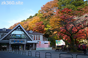
This is the main entrance to Mt. Takao. The building on the left is the cable car platform. From the left of it, mountain trail No. 6 and the Inariyama course start. Route 1 goes back a little and goes on the paved road on the right.
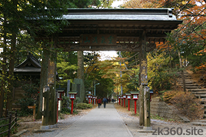
Climb to the ridge and after a short walk you will reach a gate called “Johshin-mon”. From here is a temple called “Yakuouin”. Passing through this gate and walk a little, there is a larger main gate.
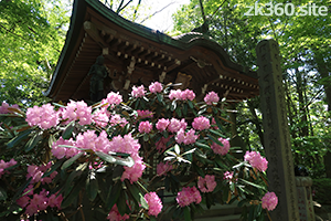
There is a small shrine called “Jinpen-do” just to the left of “Johshin-mon”. A person named “En no Gyoja” who established the mountain worship called “Shugendo” is enshrined here. The flower in front of this shrine is a rhododendron.
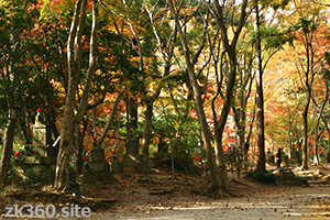
There is a stupa on the hill on the right. And the surrounding area is a quiet open space with few people. It is a beautiful place both in the fresh green season and in the autumn colors.
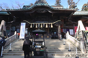
The main hall of “Yakuouin”. It’s very crowded here on the new year’s day. To reach the summit, go up the stairs on the left. To the right, there are several small halls.
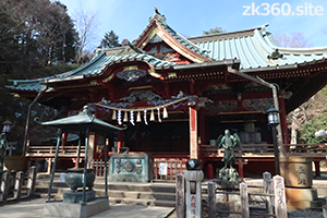
The main shrine above the main hall. “Izuna Gongen” is enshrined here. “Yakuouin” is a temple, but there is a shrine gate called “Torii” here. At this point, the number of people decreases and it becomes quiet.
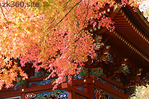
Beautiful autumn leaves taken to the right of the main shrine. Then, go up the stairs and there is the Inner Temple. Behind it is the “Fuji-sengen Shrine”. Although it is a small shrine, the connection between Mt. Takao and Mt. Fuji is strong. If you like mountains, you should stop by this shrine.
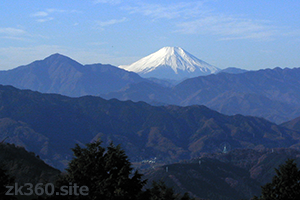
There is a large viewing platform at the western end of the mountaintop square, and you can see Mt. Fuji on a sunny day. However, it rarely looks clear. Mt. Fuji is often visible in the mornings of autumn and winter. In the afternoon, it usually hides in the clouds.
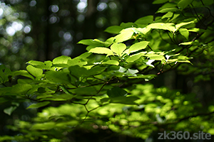
Mt. Takao is rich in vegetation. It’s fun to observe and take pictures of various plants. This is a tree called Viburnum furcatum taken in July.

The last autumn leaves of the year, taken in December near Takaosanguchi station. The season of autumn leaves is late in Tokyo. The beautiful autumn colors of Mt. Takao are around November.
The best season is spring, summer, autumn and winter, but
Keio Corporation, which operates the Keio Line, advertises Mt. Takao in stations and trains. The 2021 version of the blurb was “The best season is spring, summer, autumn and winter. Mt. Takao.”
In fact, many people climb this mountain all year round. The busiest day is January 1st, when we go to visit the New Year. However, this is a special day.
Many climbers are in early summer when the fresh green is shining and in November when the autumn leaves are beautiful. There will be a long line to ride the cable car. And some mountain trails will be one-way.
Climbing is not recommended in midsummer. You may have the image that the mountains are cool. However, the altitude of Mt. Takao is 599m. At this altitude, it is no different from the temperature in urban areas. If Tokyo is a midsummer day, Mt. Takao is also a midsummer day. Climbing is dangerous.
I like Mt. Takao in winter. While stepping on the fallen leaves, walking in the sun with few people calms my feelings. It rarely snows. However, the temperature of Mt. Takao is about 10 degrees lower than that of downtown Tokyo. Please bring warm clothes.
If you take the cable car to the ridge and go to the “Yakuouin” temple, you can go with business shoes. But if you go to the top of the mountain, please wear sneakers at least. If you want to walk on the mountain trail, you need trekking shoes.
Mountain area
Southern part of Kanto region
Access to Mt. Takao
(1) A 5-minute walk from Takaosanguchi Station on the Keio Line to the trailhead. There are multiple mountain trails, and all routes take about an hour and a half to reach the summit. You can save time by going up to the ridge with a cable car or lift.
(2) You can walk from Mt. Jinba through Mt. Kagenobu and Mt. Shiroyama to Mt. Takao. This route takes a day and requires trekking equipment.
(3) In addition, there are several mountain trails leading to Mt. Shiroyama, Mt. Kagenobu, and Myo-oh pass. You can climb these trails to reach Mt. Takao after reaching the ridge.
To A-Z Index
To Area Index


